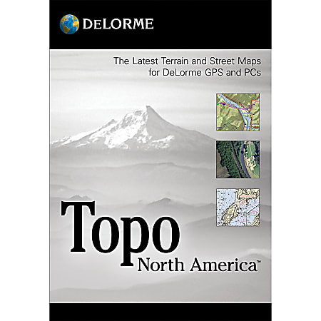
Comprehensive map source for outdoor recreation
- Includes topographic maps covering the U.S. and Canada, with detailed streets. Also includes major roads for Mexico.
- Easily create road and trail routes. You can preview the terrain in realistic detail, useful in hilly or mountainous regions. Provides many trip-planning features, too.
- Provides over 4 million places-of-interest (POIs) in the U.S. and Canada.
- Provides extensive coverage of U.S. trails. Shows public lands and lands controlled by the Bureau of Land Management (BLM).
- 3-D mapping provides lifelike views of your favorite terrain.
- Provides flexible printing choices. Lets you create hardcopy versions of maps.
- Includes GPS capabilities. Designed to work with a DeLorme handheld GPS receiver (sold separately). Includes 5 regional discs of PN-Series maps to update your DeLorme GPS.