Comes ready-to-display with a rigid steel rod and rings for easy mounting
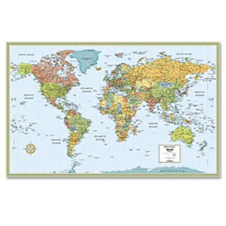
- Ideal for planning vacations, locating key markets and general reference.
- Color-matching relief shows mountain ranges and other elevation changes.
- Gall Stereographic projection shows countries and continents truer to their relative size.Map is centered on Africa allowing viewers to see continents complete and intact.
- Clearly labeled country and city names for easy locating.
- Laminated map displays latitude and longitude indications.