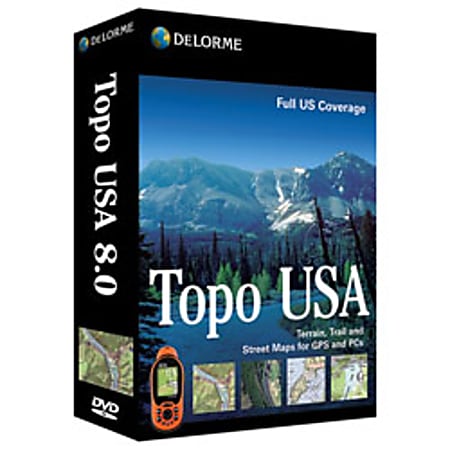
Up-to-date, feature-rich topographic software
- Updated highway, street, back road, and trail detail.Enjoy realistic 3-D terrain views, with flyovers and 360° rotation. Import aerial imagery, nautical charts, and USGS topo maps with a map library subscription.
- Automatic road and trail routing with over 4 million places of interest.Includes highways and streets for Canada with major roads for Mexico.
- Paperless geocaching with DeLorme Earthmate PN-Series GPS receivers.Easily manage your collected GPS data and insert positionally-accurate waypoints and tracks into the maps you upload. You can also create routes on roads or trails for upload to your receiver.
- NavMode with 3D GPS tracking and voice-guided navigation, for laptop PCs and UMPCs.Integrate your data downloads on your PC for unrivaled planning, routing, and navigating . Identify structures, landmarks, and other features with pinpoint GPS accuracy.