
Rand McNally EasyFinder Mid-Size Road Atlas 2018
1 / 1
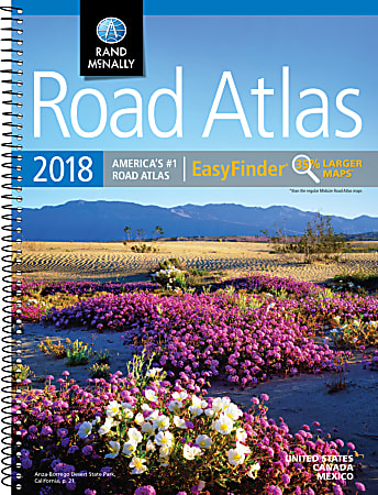
Description
Get a better view of North American roadways with this deluxe road atlas, which is 35% bigger than the standard atlas from Rand McNally. The spiral binding makes it easy to flip between maps, and the travel-friendly size allows for placement in your purse, backpack or glove compartment.
- Includes maps of every U.S. state and Canadian province. Also contains an overview map of Mexico.
- Detailed inset maps of 50+ North American cities help you navigate with ease.
- Features a mileage chart that shows the distances between 77 cities and national parks and a driving times map.
- Spiral-bound atlas allows the book to lay flat for easy viewing.
- 8" x 10.81" size can be tucked away in your glove compartment or backpack.
Specifications
| Item # | 804639 |
| Manufacturer # | 0528017411 |
| number of pages | 160 |
| publisher | Rand McNally |
| quantity | 1 |
| brand name | Rand McNally |
| diverse supplier | Caucasian Female; WBENC Certified; Women-Owned Business Enterprise (WBE) |
| manufacturer | RAND MCNALLY & CO. |