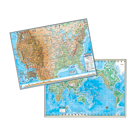
Laminated maps show plenty of accurate details about the country and the world. Special features allow you to recognize elevation differences and ocean currents.
- Complete Mercator Projection of the U.S. and world with an inset of Europe.
- Displays different environmental areas, including wetlands, deserts, ocean currents and water depths.
- Elevation cross-section and color bar enable easy identification of topographical features.