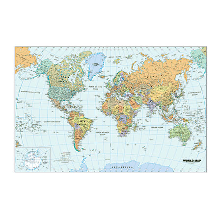
Travel the world right in the classroom with this laminated map
- World map includes countries in vivid colors, national capitols, major cities, rivers, time zones and major peak elevations to help teach geography.
- Heavy lamination creates a protective barrier.
- Includes a water-soluble marker, so instructors can mark key regions, demonstrate paths traveled and more. Marks wipe away with a damp cloth for easy cleaning.